
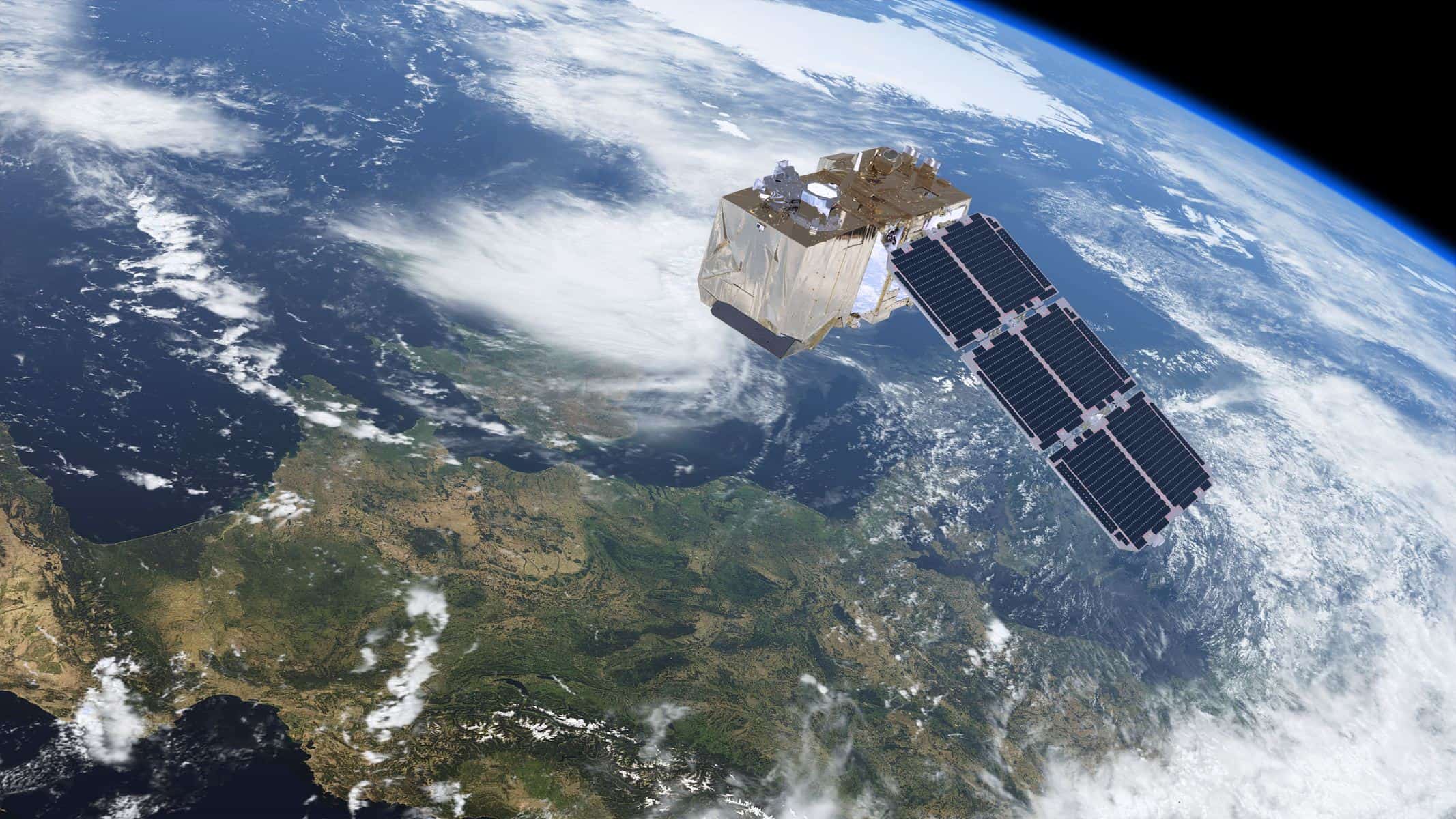
Sentinel-2 is not another government satellite, but your summary weapon of multispectral data, thanks to Copernicus program by ESA. Properly approached, those high-res images can become actionable in the fields of agriculture, forestry, urban development, or simply in environmental compliance. However, just like any good thing, you must know how to use it.
For those seeking to get onboard satellite analysis, the first step is accessibility. These days, getting your hands on Sentinel-2 data is as simple as online shopping. Download free satellite data from portals like Copernicus Open Access Hub or OnGeo Intelligence. Just register, set your parameters, and you are off to the races—no technical hurdles, no hidden fees.
Understanding the Power of Spectral Bands
Here’s where a lot of businesses get tripped up. Sentinel-2 offers 13 spectral bands—each with its own utility. Near-infrared bands? Perfect for monitoring crop health, which is gold for agri-business. Shortwave infrared? That’s your ticket for tracking water stress or soil moisture. If you’re in urban planning, the visible bands give you clear, true-color views of infrastructure and growth zones. The trick is to align the right band combo with your business challenge—don’t just stick to the default.
And yes, if you are wondering about how to download free satellite imagery, the process has become simpler than ever. For most users, the best route is to download free Senitel-2 imagery via platforms like Copernicus Open Access Hub.
Data Preprocessing: Turning Raw into Reliable
Raw satellite data is rarely ready for the boardroom. Between cloud cover, atmospheric noise, and sensor quirks, you need to clean it up. Preprocessing steps like atmospheric correction, cloud masking, and geometric alignment are essential. Tools such as SNAP or QGIS make it pretty painless, even if you don’t have a GIS specialist on payroll. Don’t skip this step—garbage in, garbage out.
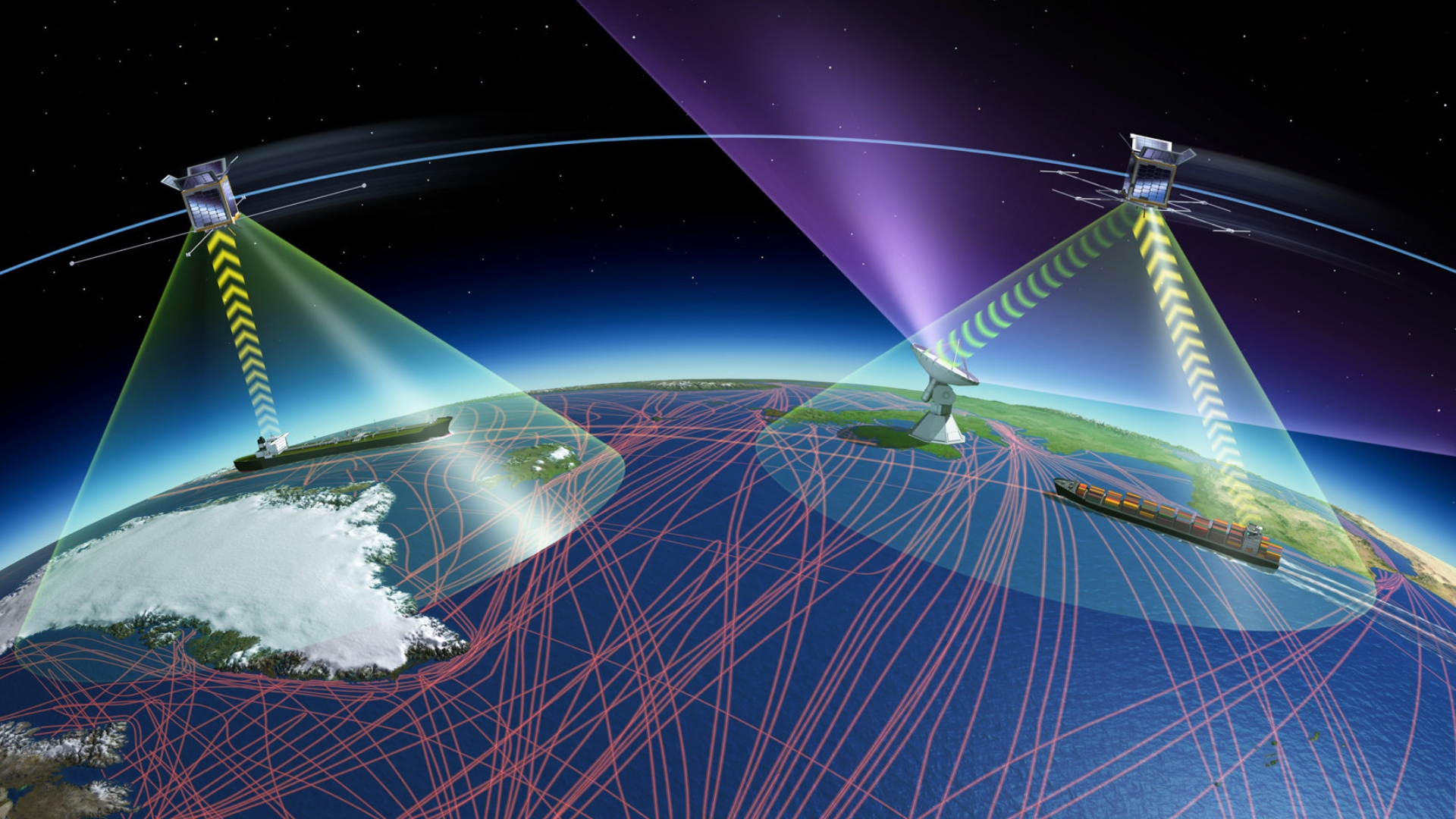
Leverage Time-Series for Competitive Advantage
The five-day revisit cycle of Sentinel-2 is mammoth. Need to keep track of crop growth, new development, or water levels with time? Time-series analysis will enable you to monitor shifts, identify trends and make decisions that are not based on your hunches. This is how you get ahead of other competitors who still use quarterly report.
Visualization: More Than Just Good-Looking Maps
Visualization is not about aesthetics of pictures, but it is about unearthing the important of your business. Sentinel-2 Data can be freely filtered, overlaid and analyzed using platforms such as EO Browser, Google Earth Engine and QGIS in real flexibility. Want to carry out a rapid land-use classification, locate illicit incursions, or forecast yields? The correct tool will bring you there with less pain in the head.
Stay Organized or Risk Data Chaos
Every Sentinel-2 image comes bundled with rich metadata—acquisition date, calibration info, the whole lot. If you’re processing at scale, you need a solid system for file naming and storage. Otherwise, you will waste hours hunting for the right scene or, worse, lose track of important historical data. This isn’t just about efficiency – it’s about risk management.
Scaling Up: Bulk Downloads and Automation
Many users also search how to download Senitel-2 imagery efficiently with the help of APIs or bulk download tools. Set your search parameters (location, cloud cover, date), and automate the rest. It’s not just about saving time—it’s about scaling your analysis to meet your business needs without burning out your team. Thankfully, it is for free!
Bottom line
Sentinel-2 isn’t just another data source. Used correctly, it’s a strategic asset that can drive smarter decisions, cut costs, and reveal opportunities you would otherwise miss. Get the right process in place, and you will see the growth of ROI—fast.